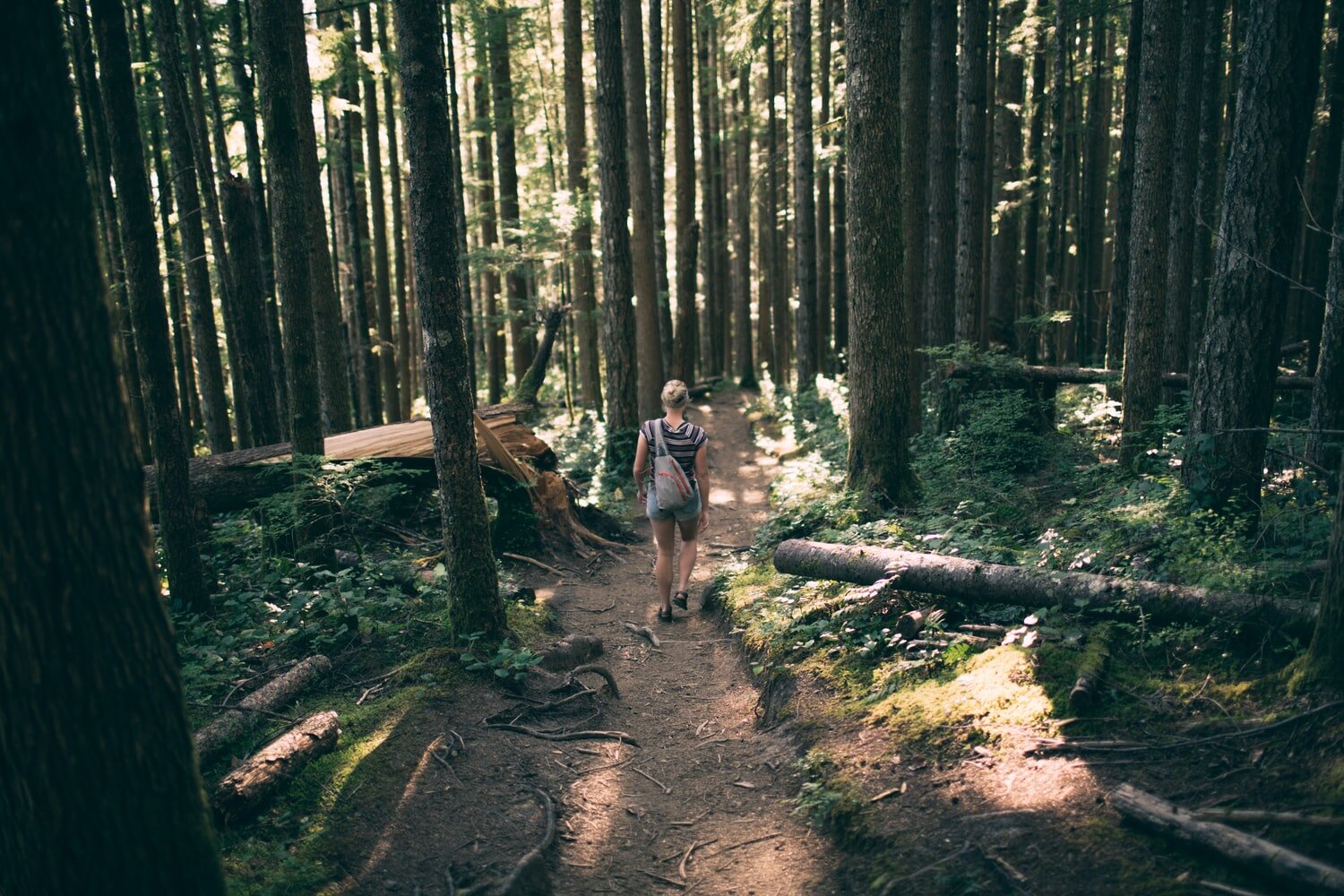
Outdoor Series || Joffre Lake

Joffre Lakes Hiking Trail is a popular hike located just north of Pemberton in Joffre Lakes Provincial Park. At 10 km hike with 400 m elevation, easy trailhead access and gorgeous views, this is one of the most busy and well-traveled trails during the summer. It is also a popular destination for ice trekkers during the winter months.
At an easy, moderate distance, Joffre Lakes offers an exciting mix of scenery in this day hike. Along the way, you can breathe in elevated fresh air, encounter creek crossings, snap pictures of the majestic waterfall, and be rewarded with the stunning view ofthe surrounding mountain range.
Joffre Lakes Hike Stats
Rating: Moderate
Distance: 10 km
Elevation Gain: 400 m
Highest Point: 1,600 m
Time Needed: 4 – 5 hours
Type: Out-and-back
Season: June to September
Dogs Allowed: Yes
Est. Driving Time from Vancouver: 2.5 hours
Trailhead Coordinates: N50.369517, W-122.498688
Although most of the hike consists of a steady uphill climb, several parts of the trail do offer a challenge. Regardless, once you persist through the difficult points, the extraordinary beauty at the peak will definitely astonish and amaze.
Along the trail, there are three glacier-fed lakes, each more spectacular than the last. The lakes are aptly named Lower, Middle and Upper Joffre Lakes. The vibrant turquoise colour of the lakes provides a refreshing contrast with the endless rockiness of the path.
Since 2013, a lot of maintenance work has been done on the Joffre Lakes Trail – which is met with mixed reviews from seasoned trekkers. However, the improvements have shortened the trail, making it possible to reach Upper Joffre Lake at a faster pace.
The Hike Itinerary
We started the hike from the trailhead, located close by parking lot. Sitting at an elevation of 1,240 m, Lower Joffre Lake is a flat 5-minute walk and a quick diversion off the main trail. The view from this stop will give you a good vantage point of your end goal – the spectacular Matier Glacier.
Next, we headed for the main trail. After a 3 km walk, we arrived at Middle Joffre Lake at an elevation of 1,535 m. Stopping by the infamous log loved by the Instagram community, we took a rest to take in the beautiful surroundings. A spectacular waterfall also lies between Middle Joffre lakes and Upper Joffre Lake.
From the waterfall, we took a bridge over Joffre Creek and trekked up to Upper Joffre Lake. At an elevation of 1,600 m, the trail carries around to the south tip of the lake for a close up view of Matier Glacier. It may be tempting to scramble up to the glacier, but the chunks of its icy surface may break off into the lake, posing fatal danger to climbers.
You will notice there a lot of campers on your way up, as camping is permitted around the lake. Many people challenge the hike with their tents and sleeping bags, just to enjoy the scenery for a few more days. As of 2014, a backcountry camping fee is in effect from June 1 to Sept 30, at the cost of $5 per person per night.
After you have snapped your boasting-rights picture of the glacier, you simply need to double-back on the trail back to the trailhead. This time, allow gravity to do the hard work and enjoy your downhill trek!
Pictures by || Bruce Li & Chelsea Cai


